PCT Map Miles 2638.3
Miles Hiked 13.6
Elevation 5,079 feet
Miles Hiked Today 13.6
This might be a little confusing. This blog heading shows PCT map miles for northbound hikers, which today I am. However, I’m actually heading for the Canadian border to touch the PCT northern terminus monument. Then I’m going to turn around and head south through Washington.


The overnight stay at the Lion’s Den went well and I got at least a little sleep. I’m still fighting jet lag from the more than 10 hours it took to get to Washington. This morning I’m on the 7:00 a.m. list to go to Harts Pass to start my hike. This is the Washington first day of hiking on the PCT.
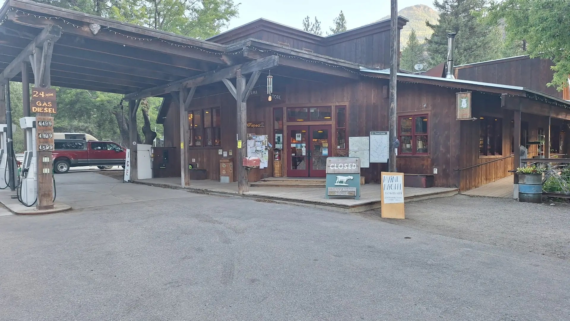
Six hikers loaded up the van that was to take us to the pass. Our first stop was a store for breakfast. I was surprised to see how many hikers were there getting prepared to take off.
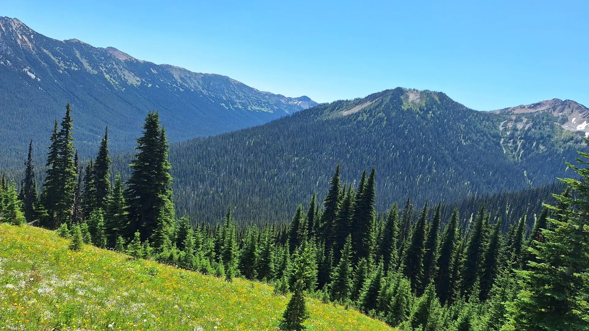
Once back on the road we headed up to the trail head. It was a long drive up a mildly rough, gravel mountain road. The drive took over an hour. And then I was off.
The trail was pretty easy to begin with and I made good time. Later in the day the fact that I hadn’t hiked in a year caught up with me. My right leg was giving me problems just as it had last year, so I started slowing down. The original plan was to do just over 13 miles and I had toyed with going further than that.
Around 2:00 p.m. reality hit, and I knew that I would go to the planned tent site after all. I arrived there about 4:15 p.m. and set up my tent. After eating dinner I got into my tent and that was it. I was tired, my leg was hurting and it was time to go to bed.
I need to get my trail legs. Last year when I had a problem with my right leg, it finally went away after a couple of weeks. Time to grin and bare it and hike on.