

Mile 325.0
Elevation 5,270
Miles Hiked 9.8
I left Hogback Ridge Shelter about 8:20 AM. I snapped a picture of my left leg before leaving just to remind myself what it looks like on this last day of my hike.

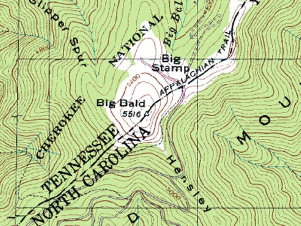
The elevation at Hogback Ridge Shelter is 4314 feet. That’s significant because the trail is pretty much up once Sam’s Gap is reached at elevation 3725 feet and mile 317.6. It was a steep hike to Big Bald, where the elevation is 5516 feet at mile 324.1. That’s about 1,800 feet up over 6 1/2 miles.


Big Bald is really scenic. It’s a large meadow type area where there are unobstructed views of the mountains and homes built in mountain communities.


A dirt road (mile 325.0) just past Big Bald is the end of my journey. I called for a ride and was taken to a beautiful mountain cabin where I’ll spend a couple of days before going to Erwin, TN and ultimately Damascus, VA for Trail Days.

